AI & Automation
MCP
Partners
Pricing
We'd love to hear from you!
OpenStreetMap
ArcGIS
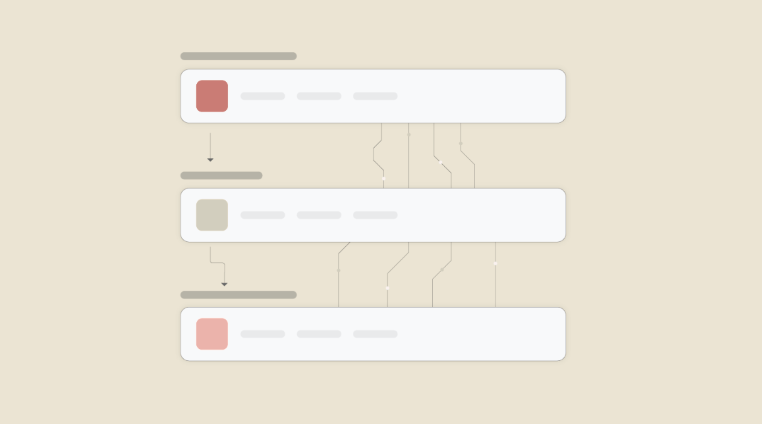
Enable Integrations or automations with these events of OpenStreetMap and ArcGIS
Enable Integrations or automations with these events of OpenStreetMap and ArcGIS
Actions
Get User
Get details of authenticated user.
Get Items
Get the details of all existing items.


Know More About viaSocket Integrations
How viaSocket Works | A Complete Guide
Gain insights into how viaSocket functions through our detailed guide. Understand its key features and benefits to maximize your experience and efficiency.

5 Simple Automation Hacks to Make Your Team Free
Unlock your team's potential with 5 straightforward automation hacks designed to streamline processes and free up valuable time for more important work.
What is Workflow Automation - Definition, Importance & Benefits | A Complete Guide
Workflow automation is the process of using technology to execute repetitive tasks with minimal human intervention, creating a seamless flow of activities.
Frequently asked questions
- Is there a limit to the number of apps I can integrate through viaSocket?
- No, viaSocket does not impose a limit on the number of apps you can integrate. You can connect as many apps as needed to create comprehensive workflows and streamline your business processes.
- Can I automate complex multi-step workflows across thousands of apps with viaSocket?
- Absolutely! viaSocket supports the creation of complex workflows with multiple steps, conditional logic, and branching pathways across thousands of integrated apps. Whether you need to automate approval processes, trigger actions based on specific criteria, or organize a series of events, viaSocket offers the flexibility and functionality to meet your automation needs, no matter how complex.
- Can I monitor the performance of integrations and troubleshoot issues?
- Yes, viaSocket provides monitoring tools and dashboards that allow users to track the performance of integrations in real-time. You can view metrics such as data transfer rates, error logs, and integration status to identify and troubleshoot any issues that may arise.
- How does viaSocket ensure the security of data exchanged between integrated apps?
- Security is a top priority for viaSocket. All data transferred between various apps through viasocket is encrypted using industry-standard protocols to ensure confidentiality and integrity. viaSocket also employs robust authentication mechanisms to prevent unauthorized access and protect sensitive information.
About OpenStreetMap
OpenStreetMap is a collaborative project to create a free, editable map of the world. It allows users to view, edit, and use geographical data in a collaborative way from anywhere on Earth.
Learn MoreAbout ArcGIS
ArcGIS is a comprehensive geographic information system (GIS) for working with maps and geographic information. It is used for creating, managing, sharing, and analyzing spatial data.
Learn More