



Connect Minutemailer and ArcGIS
Integrate Minutemailer with ArcGIS to automate workflows, sync data between apps, and eliminate repetitive tasks with AI-powered automation.
Supported Triggers & Actions
Everything you can automate between Minutemailer and ArcGIS.
When this happensTrigger
No trigger available
Do thisActions
Action is the task that follows automatically within your Minutemailer integrations.
Create Email Contact
Create a new contact with an email and optional details, and add them to one or more mailing lists.
Unsubscribe Contact
Mark a contact as unsubscribed so they stop receiving emails.
Add Contact to List
Add a contact to a contact list using email or contact UUID.
Remove Contact From List
Remove a contact from a list using their email or contact UUID.
Create Contact List
Create a contact list and optionally set its subscription page title.
Get Items
Get the details of all existing items.
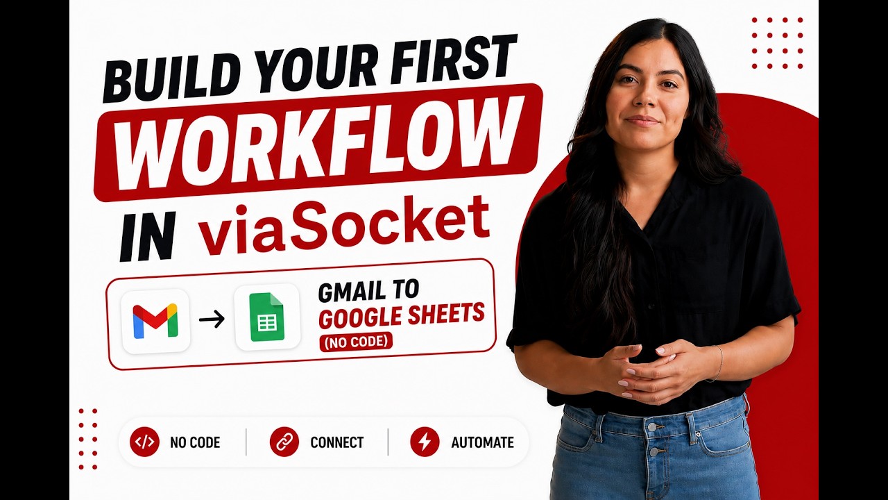
Learn how to build your first workflow
Follow a simple walkthrough to create, test, and launch your first automation.
- 1
Connect your apps
Link the apps you want to automate.
- 2
Configure your workflow
Set up triggers, actions, and map your data.
- 3
Test & publish
Test your workflow and publish it.
Trusted by Thousands. Recognized by the Best.
Recognized by leading review platforms and trusted by 10,000+ businesses worldwide.





From idea to automation.
AI will build it for you
Just describe the task in plain English. viaSocket AI selects the right apps, builds the workflow, maps the fields, and prepares everything for review before you publish.
Learn More About Automation

How viaSocket Works | A Complete Guide
Discover viaSocket, an AI-powered workflow automation platform with 2,300+ integrations. Learn what it is, how it works, and how to set up no-code automated workflows.

5 Simple Automation Hacks to Make Your Team Free
Five practical automation hacks to cut repetitive tasks and boost productivity using viaSocket, covering lead generation, onboarding, accounting, support, and HR.
What is Workflow Automation - Definition, Importance & Benefits | A Complete Guide
Explore workflow automation: its definition, benefits, how it works, real-world examples, and how to automate with viaSocket.

What are Webhooks - Definition, Working, Usage & Examples | A Complete Guide
Discover what webhooks are, how they work, and when to use them. Compare push-based webhooks with APIs and polling, with practical examples and ViaSocket integration.
viaSocket Support
We're here to help

Instant answers
AI assistant available 24/7
Expert support
Connect with our specialists
Trusted & secure
Your data is safe with us
Start automating Minutemailer and ArcGIS free
No credit card required. Set up your first workflow in minutes.
About Minutemailer
Automate and streamline your email marketing campaigns with Minutemailer. Efficiently manage newsletters, promotional emails, and customer communications.
Learn moreSimilar apps


About ArcGIS
ArcGIS is a comprehensive geographic information system (GIS) for working with maps and geographic information. It is used for creating, managing, sharing, and analyzing spatial data.
Learn moreFrequently Asked Questions
Sign up for a free viaSocket account, then authorize both your Minutemailer and ArcGIS accounts. From there, pick a trigger in one app and an action in the other. Your first workflow can be live in under five minutes.
Yes. viaSocket uses instant triggers where available, so data moves between Minutemailer and ArcGIS as soon as the event happens. Scheduled polling triggers run at a maximum interval of 15 minutes.
Yes. You can map specific fields, apply filters to skip records that do not match your conditions, and transform values before they reach ArcGIS. No coding required.
Yes. You can set up a workflow where Minutemailer triggers actions in ArcGIS, and a separate workflow where ArcGIS triggers actions in Minutemailer. Both run independently and in real time.
viaSocket logs every run so you can see exactly what succeeded and what failed. Failed tasks can be retried from the dashboard without re-configuring the workflow.
Yes, there is a free plan that covers basic workflows between Minutemailer and ArcGIS. Paid plans unlock higher task limits, faster polling, and advanced features like multi-step workflows and conditional logic.
No. The entire Minutemailer and ArcGIS integration is built through a visual, point-and-click interface. Code blocks are available if you want them, but they are never required.

