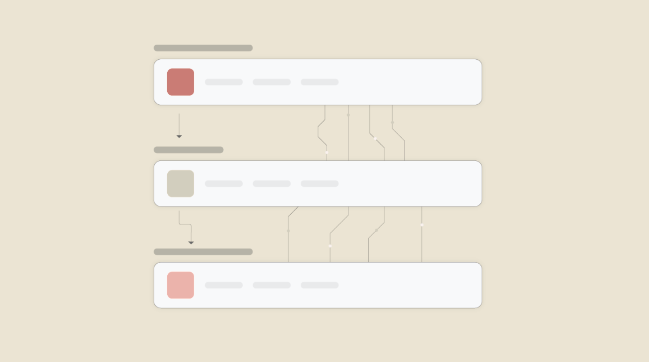
Connect Google Map and HigherGov to Build Intelligent Automations

Enable Integrations or automations with these events of Google Map and HigherGov
Enable Integrations or automations with these events of Google Map and HigherGov
Actions
Search For Places
Adds a new location to your Google Map.
Get Direction
get a direction and details.
Get a Location
Return latitude, longitude, and formatted address for the provided address.
Get a Timezone
retrieves timezone details.
Get an Elevation
retrieves elevation details.
Get a Distance Matrix
retrieve travel distance and estimate time between locations.
Explore more automations built by businesses and experts


Know More About Google Map and Highergov Integrations
How viaSocket Works | A Complete Guide
Gain insights into how viaSocket functions through our detailed guide. Understand its key features and benefits to maximize your experience and efficiency.

5 Simple Automation Hacks to Make Your Team Free
Unlock your team's potential with 5 straightforward automation hacks designed to streamline processes and free up valuable time for more important work.
What is Workflow Automation - Definition, Importance & Benefits | A Complete Guide
Workflow automation is the process of using technology to execute repetitive tasks with minimal human intervention, creating a seamless flow of activities.
Frequently Asked Questions
To start, connect both your Google Map and HigherGov accounts to viaSocket. Once connected, you can set up a workflow where an event in Google Map triggers actions in HigherGov (or vice versa).
Absolutely. You can customize how Google Map data is recorded in HigherGov. This includes choosing which data fields go into which fields of HigherGov, setting up custom formats, and filtering out unwanted information.
The data sync between Google Map and HigherGov typically happens in real-time through instant triggers. And a maximum of 15 minutes in case of a scheduled trigger.
Yes, viaSocket allows you to add custom logic or use built-in filters to modify data according to your needs.
Yes, you can set conditional logic to control the flow of data between Google Map and HigherGov. For instance, you can specify that data should only be sent if certain conditions are met, or you can create if/else statements to manage different outcomes.
About Google Map
Google Map is a web-based service that provides detailed information about geographical regions and sites around the world. It offers satellite imagery, street maps, 360° panoramic views of streets, real-time traffic conditions, and route planning for traveling by foot, car, bicycle, and air. It is widely used for navigation and location-based services.
Learn MoreAbout HigherGov
HigherGov is a comprehensive platform designed to streamline and enhance government operations and public sector management. It offers tools and solutions for efficient governance, policy implementation, and public service delivery, ensuring transparency and accountability in government processes.
Learn MoreviaSocket
For SaaS
For AI Agent Builders
Support
Automation Experts

Plans, Pricing and Offer
AI & Automation
© 2026 viaSocket |Privacy,TermsandData Retention & Deletion Policy
Walkover Web Solutions Pvt Ltd. | All rights reserved.