
Connect ScreenshotEngine and ArcGIS to Build Intelligent Automations
Choose a Trigger

When this happens...
- Request a new Trigger for ScreenshotEngine
Choose an Action

Automatically do this!
Get Items
Enable Integrations or automations with these events of ScreenshotEngine and ArcGIS
Enable Integrations or automations with these events of ScreenshotEngine and ArcGIS
Actions
Capture Website Screenshot
Take a screenshot of a web page and return a public image URL.
Create Screenshot with Watermark
Captures a screenshot of a web page and applies a custom watermark using ScreenshotEngine.
Get Items
Get the details of all existing items.
Know More About Screenshotengine and Arcgis Integrations
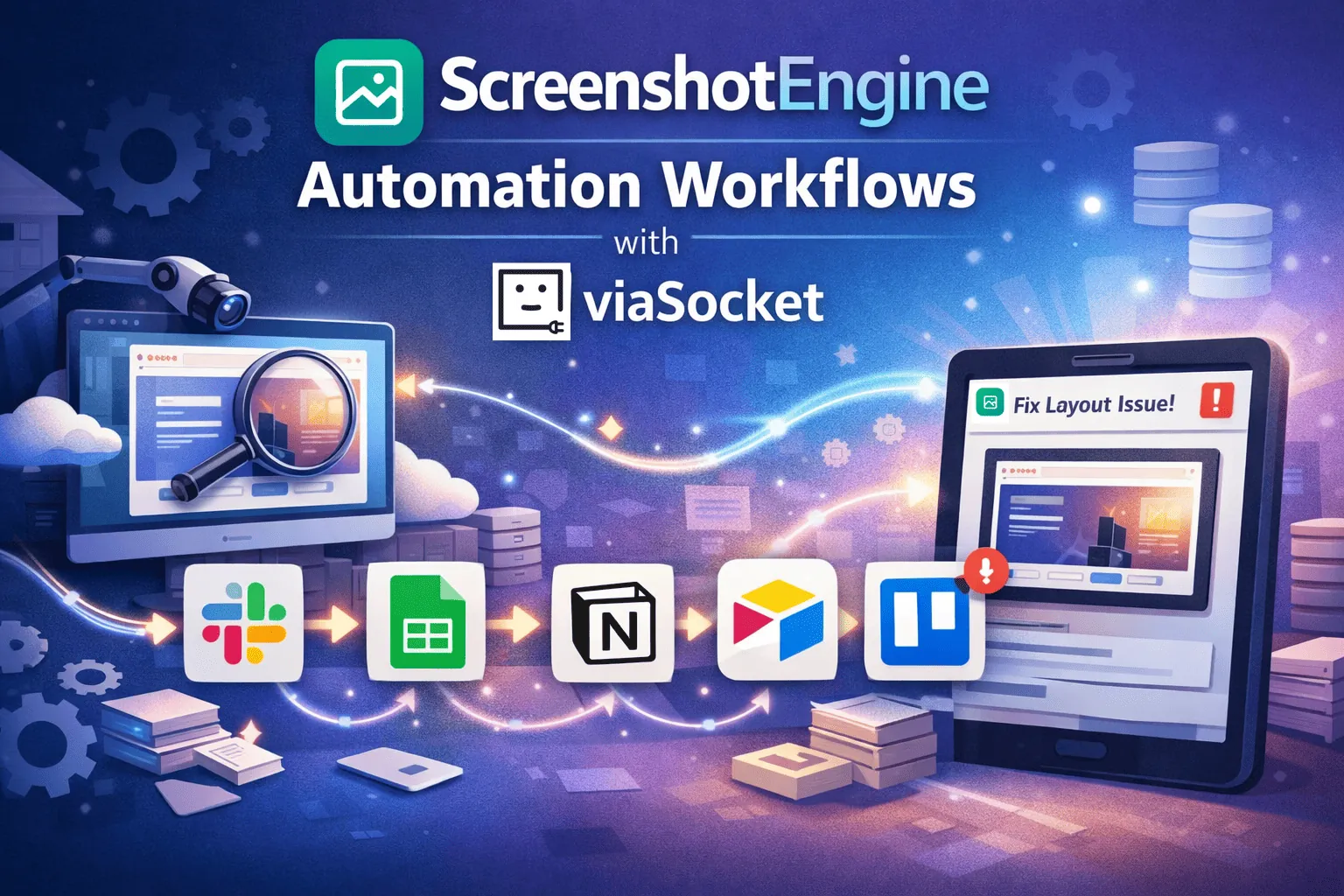
ScreenshotEngine Automation Workflows with viaSocket
Scale screenshot capture and post-processing with ScreenshotEngine and viaSocket. Automate QA checks, audits, and visual monitoring - log images in Google Sheets, attach to Notion, archive in Airtable, and create Trello cards.

How viaSocket Works | A Complete Guide
Discover viaSocket, an AI-powered workflow automation platform with 2,000+ integrations. Learn what it is, how it works, and how to set up no-code automated workflows.

5 Simple Automation Hacks to Make Your Team Free
Unlock your team's potential with 5 straightforward automation hacks designed to streamline processes and free up valuable time for more important work.

What is Workflow Automation - Definition, Importance & Benefits | A Complete Guide
Explore workflow automation: its definition, benefits, how it works, real-world examples, and how to automate with viaSocket.
Frequently Asked Questions
To start, connect both your ScreenshotEngine and ArcGIS accounts to viaSocket. Once connected, you can set up a workflow where an event in ScreenshotEngine triggers actions in ArcGIS (or vice versa).
Absolutely. You can customize how ScreenshotEngine data is recorded in ArcGIS. This includes choosing which data fields go into which fields of ArcGIS, setting up custom formats, and filtering out unwanted information.
The data sync between ScreenshotEngine and ArcGIS typically happens in real-time through instant triggers. And a maximum of 15 minutes in case of a scheduled trigger.
Yes, viaSocket allows you to add custom logic or use built-in filters to modify data according to your needs.
Yes, you can set conditional logic to control the flow of data between ScreenshotEngine and ArcGIS. For instance, you can specify that data should only be sent if certain conditions are met, or you can create if/else statements to manage different outcomes.
About ScreenshotEngine
ScreenshotEngine is a powerful tool designed to capture and manage screenshots efficiently. Perfect for developers, designers, and content creators, it offers seamless integration and high-quality image processing.
Learn MoreAbout ArcGIS
ArcGIS is a comprehensive geographic information system (GIS) for working with maps and geographic information. It is used for creating, managing, sharing, and analyzing spatial data.
Learn More